


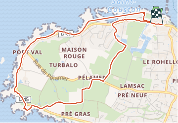

9,8 km | 10,6 km-effort

Utilisateur


Application GPS de randonnée GRATUITE
 SityTrail
IGN / Instituts géographiques
SityTrail World
Le monde est à vous
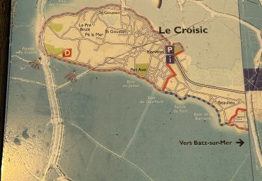
Randonnée Marche de 6 km à découvrir à Pays de la Loire, Loire-Atlantique, Le Croisic. Cette randonnée est proposée par Thierry0032.
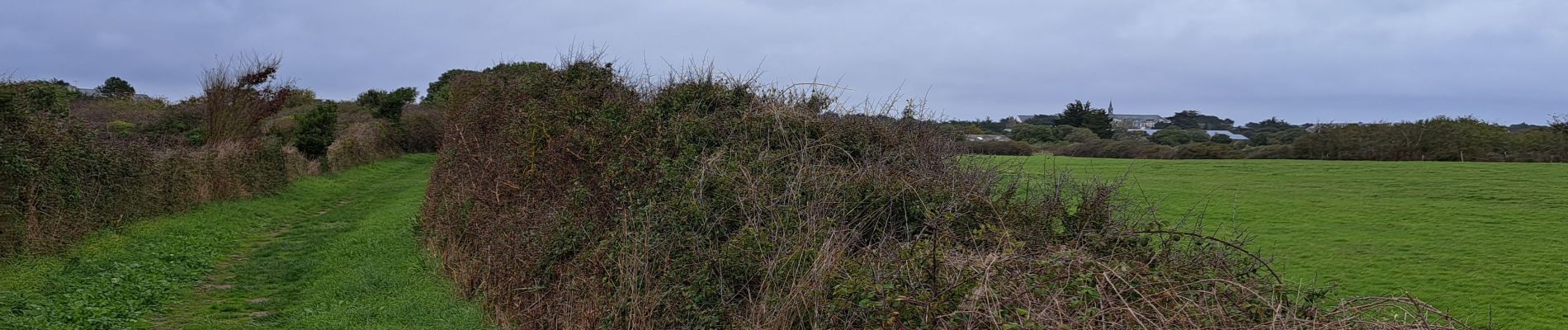
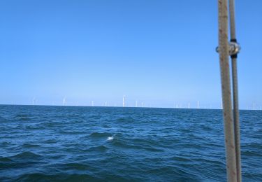
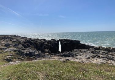
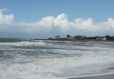
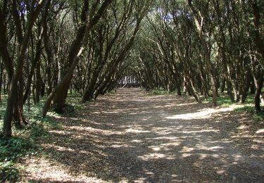
Promenade entre route et mer. Retour par des sentiers. Fait en octobre avec peu de touristes. L'océan est toujours un joli spectacle.


Marche

Marche
Marche

sport

Marche
Marche
Marche
A pied